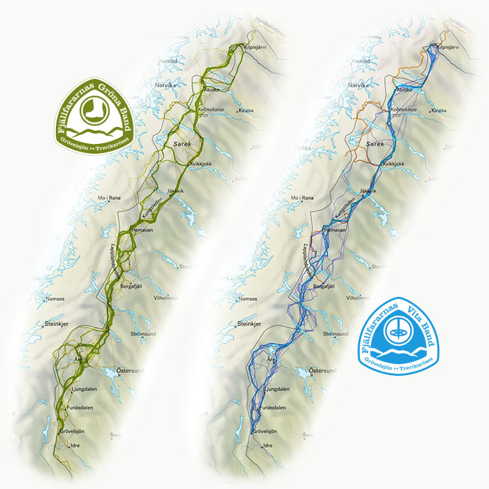
Routes
The mountain range, stretching between Grövelsjön in the south and Treriksröset in the north (the Three-Country Cairn, is a unique geographic landmark where the borders of Sweden, Norway, and Finland converge). This spans approximately 1,300 km. However, since you can choose your own path west of certain designated points, the variation is immense, offering you the chance to create your very own route.
West of certain locations
You are free to travel as you like, without motorized assistance, but you must pass west of, or through, these specific locations:
- Torneträsk, eastern tip
- Nikkaluokta
- Saltoluokta
- Jäckvik
- Håkafot
- Undersåker
Signs at the start, finish, and halfway point
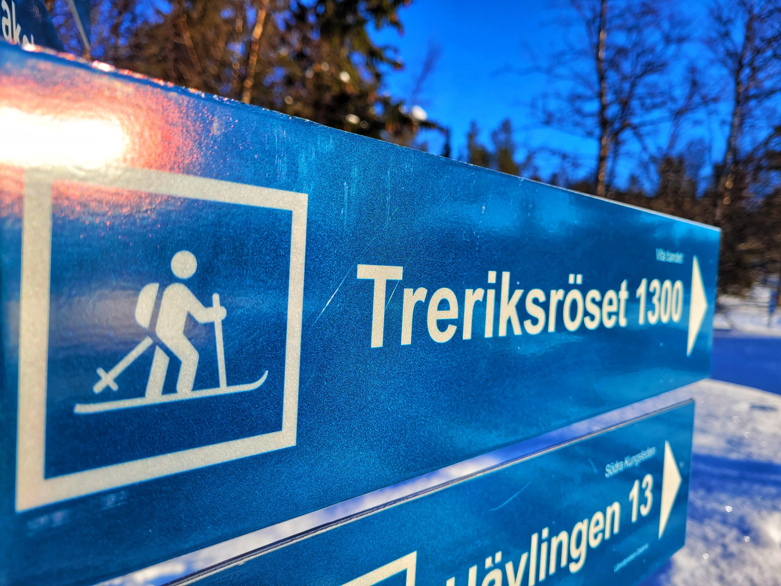
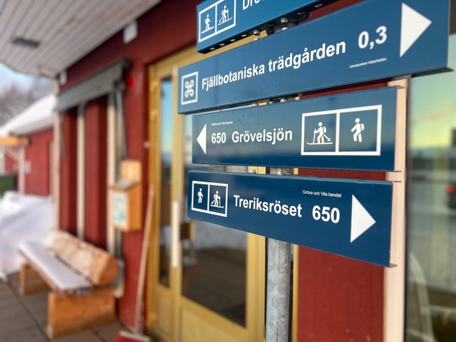
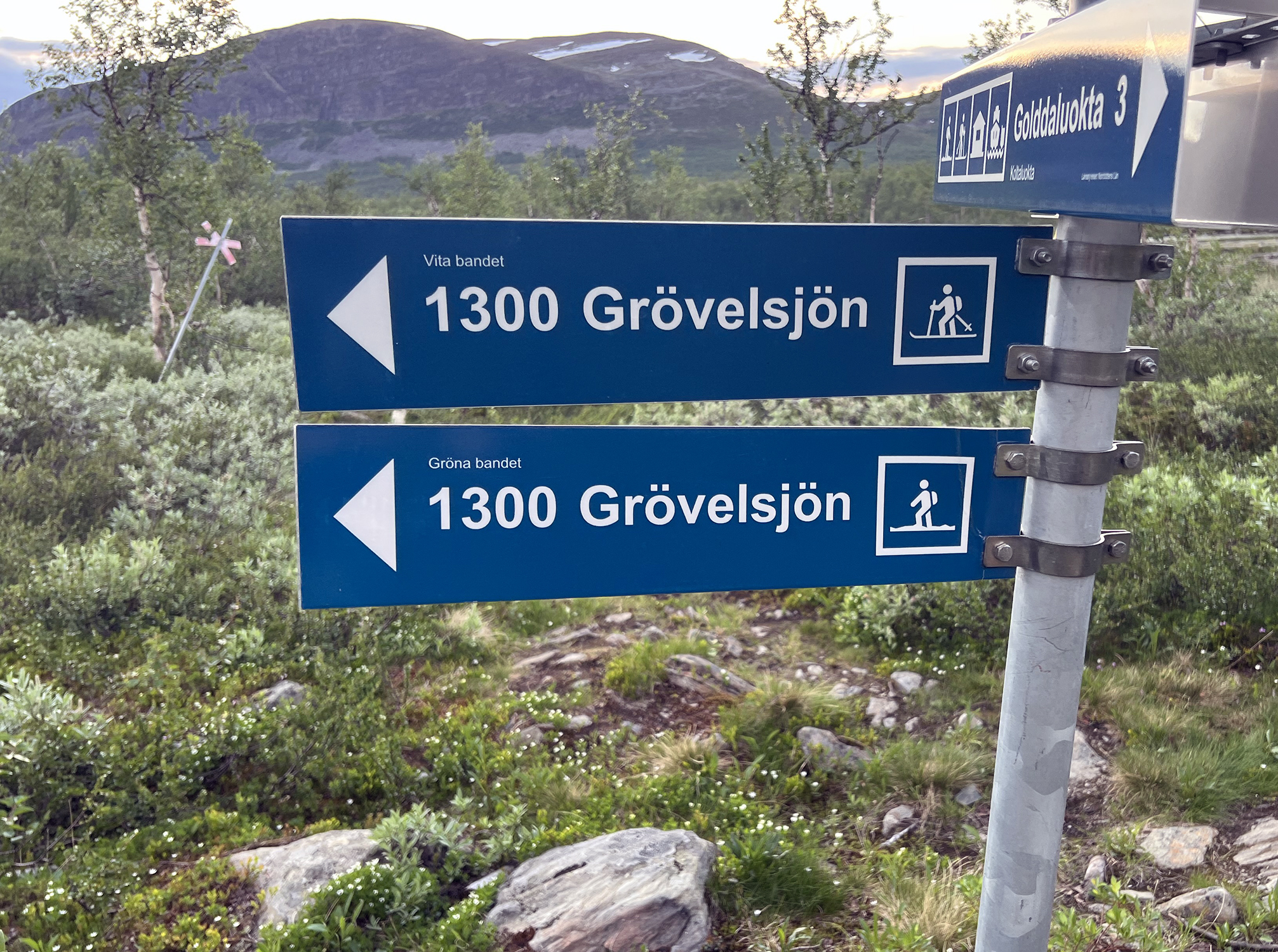
At both Grövelsjön and Treriksröset, there are signs indicating the distance remaining to complete your journey of the White or Green Ribbon. In Hemavan, a sign marks that you are approximately halfway through your trek.
